Trentino MTB is what Valle del Chiese proposes to mountain bike lovers.


Ride in Valle del Chiese: discover the MTB routes
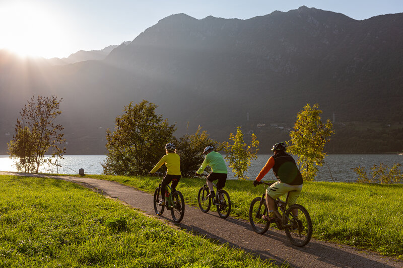
Mtb enthusiasts can enjoy some of the most interesting MTB routes in Trentino: from trails to dirt roads that connect the bottom of the valley to the woods, to the most challenging mountain bike routes in Trentino and the tours to the mountain huts.
Obviously, a trip to Valle di Daone or Val di Fumo on two "fat" wheels is not to be missed. You can't miss the famous "Giro dell'Orizzonte" or a ride to Cima Tombea, where the breathtaking view ranges from the Brenta Dolomites to Lake Idro and Lake Garda.


All Mtb tours in Valle del Chiese
Before leaving, don't be unprepared, have a look at Meteo Trentino, the weather in Trentino.
Choose the route according to your level of training and your needs. Discover all the tours for two wheels available in Valle del Chiese!

